Hakalau Lower Camp, aka Down Camp
Location: It was close to the Hakalau mill, which was beside Hakalau Bay in the gulch below. Between Lower Camp and the mill below were a number of buildings related to sugar production (warehouses, offices, etc.)
Camp size: It was the largest of the camps and included about 90 dwellings.
Time period: The map dates to 1947. House photos date to the early '50s and Occupant list dates to the early ‘60s.
It was called “Lower or Down Camp” by those who lived here, and “Mill Camp” by others. These residents each had specific skills for various plantation jobs, both union and non-union. By the early 1960’s, where were mix of Filipinos, Portuguese and others with the predominant Japanese residents. As the Chin Chuck and Kamaee Camps were being emptied during this period, a number of those residents moved to this camp. As with other camps, many who lived here raised their own vegetables in gardens assigned to them or in their backyards. Some also raised chickens, fighting chickens, ducks, pigs, and cattle.
Adjacent to it were buildings for plantation operations such as the main office, warehouses, stable, lumberyard, gas station, repair shops, and hospital.
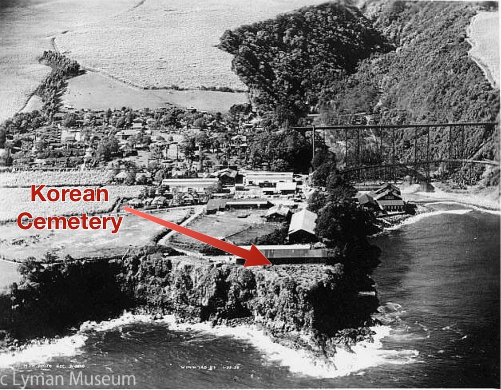
Three cemeteries were located in this area, near the cliff at the ocean’s edge: one for Koreans (next to the stables), one mainly for Japanese, and a third mostly for Catholics.
Camp size: It was the largest of the camps and included about 90 dwellings.
Time period: The map dates to 1947. House photos date to the early '50s and Occupant list dates to the early ‘60s.
It was called “Lower or Down Camp” by those who lived here, and “Mill Camp” by others. These residents each had specific skills for various plantation jobs, both union and non-union. By the early 1960’s, where were mix of Filipinos, Portuguese and others with the predominant Japanese residents. As the Chin Chuck and Kamaee Camps were being emptied during this period, a number of those residents moved to this camp. As with other camps, many who lived here raised their own vegetables in gardens assigned to them or in their backyards. Some also raised chickens, fighting chickens, ducks, pigs, and cattle.
Adjacent to it were buildings for plantation operations such as the main office, warehouses, stable, lumberyard, gas station, repair shops, and hospital.
Three cemeteries were located in this area, near the cliff at the ocean’s edge: one for Koreans (next to the stables), one mainly for Japanese, and a third mostly for Catholics.
|
The Camp Map

Click map to see enlarged
|
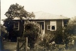
The Houses
Click photo to view corresponding camp houses
Houses near hospital and warehouses (#s 201-208) 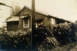
Lower Part (House #s 209-257) 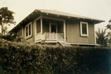
Middle Part (one row)
(House #s 258-269) 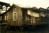
Upper Part (one row)
(House #s 270-293) Hakalau Community Buildings
(Lower Camp) 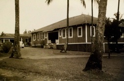
Click photo to view all community buildings
|
Occupant Names
Click the links below for family names for corresponding house numbers (early 1960's)
< Family Names (#s 201-208) |